Cuchilla de San Lorenzo
Cuchilla de San Lorenzo
5.0 km
Total Distance
439 m
Elevation Gain
Trail Description
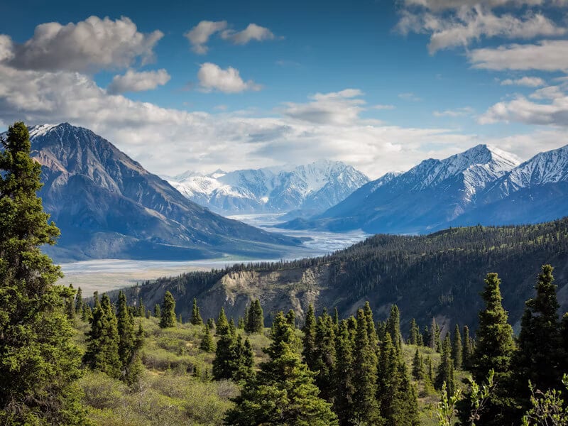
A cloud forest ridge in the Sierra Nevada de Santa Marta above Minca. The trail winds through high-altitude jungle inhabited by endemic birds, leading to viewpoints of the sea and the snow-capped peaks. One of the country's best spots for birdwatching.
Route Map
No GPS track available for this trail yet