Volcan Acatenango Cumbre
Volcan Acatenango Cumbre
7.5 km
Total Distance
1,588 m
Elevation Gain
Trail Description
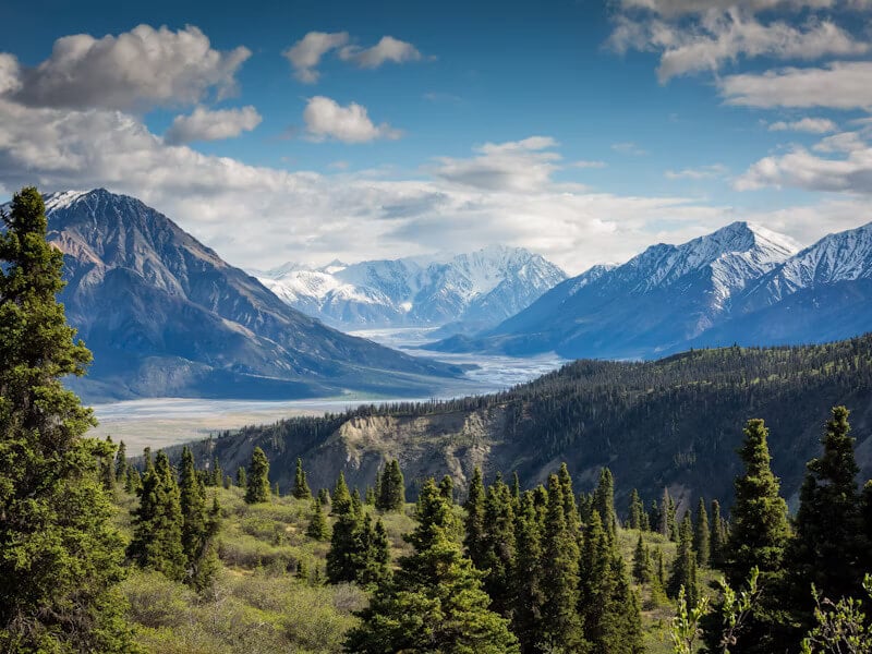
The full ascent to Acatenango peak, the third highest volcano in Central America at 3976 meters. From La Soledad, the route climbs through forests and volcanic ash to the crater, offering panoramic views of Fuego, Agua, and Lake Atitlan. It is a strenuous high-altitude hike.
Route Map
No GPS track available for this trail yet
Difficulty
5/5 · Very Difficult- Experience with long mountain hikes