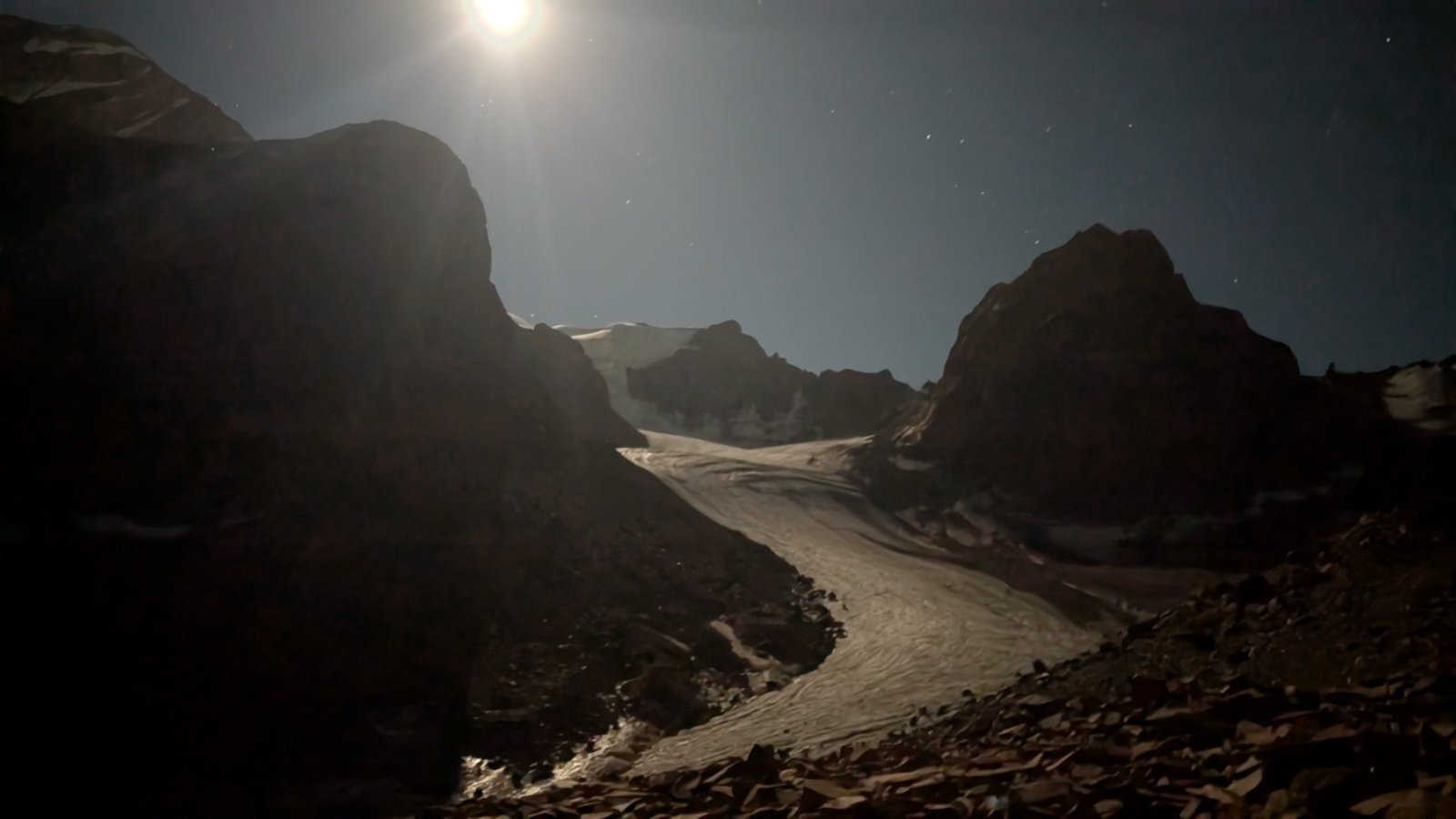
Šymbulak Bašuta And Pik Panorama From Butakovka
Šymbulak Bašuta And Pik Panorama From Butakovka
28.8 km
Total Distance
2,403 m
Elevation Gain
Trail Description
Очень сложный и длинный маршрут
Route Map
No GPS track available for this trail yet
Difficulty
4/5 · Difficult- Experience with long mountain hikes
- Bring enough water - check sources along the route