Hoverla from Zaroslyak
Hoverla from Zaroslyak
5.4 km
Total Distance
841 m
Elevation Gain
Trail Description
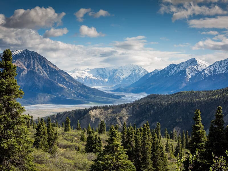
The classic ascent of Hoverla, at 2061 metres the highest peak in Ukraine, from the Zaroslyak base in the Chornohora range. The path climbs through spruce forest and open meadow to the broad summit dome with sweeping views along the main ridge. The most popular mountain walk in the country and a rite of passage for Ukrainian hikers.
Route Map
No GPS track available for this trail yet